


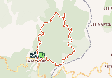


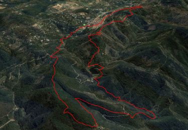
12,5 km | 19,3 km-effort

Benutzer


Kostenlosegpshiking-Anwendung
 SityTrail
IGN / Geografische Institute
SityTrail World
Die Welt öffnet sich für Sie
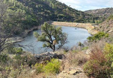
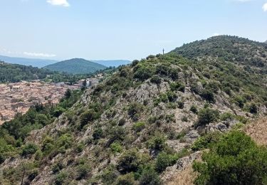
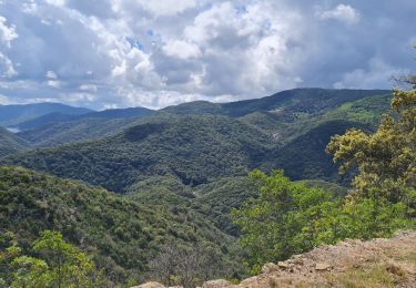
Tour Wandern von 9,8 km verfügbar auf Provence-Alpes-Côte d'Azur, Var, La Garde-Freinet. Diese Tour wird von LBarel vorgeschlagen.
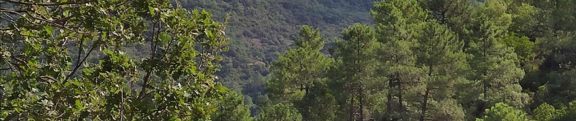
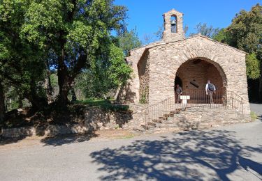
Une belle balade, tranquille et ouvrant sur de beaux horizons. Ça monte... Ça descend, mais sans difficulté particulière. Un chien aboyant mais peureux, qui défend son habitation perdue dans le massif.


Wandern

Wandern


sport
Wandern
Wandern
Zu Fuß
Rennrad
Wandern

Wandern